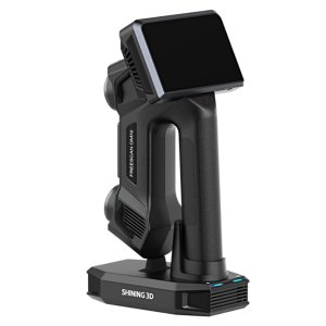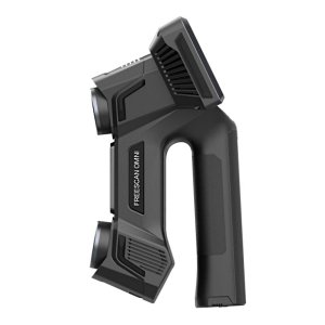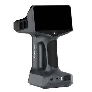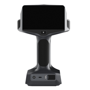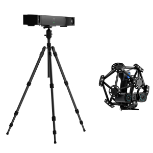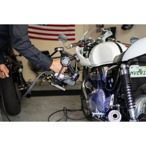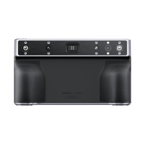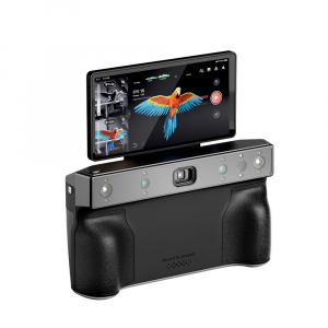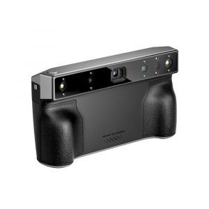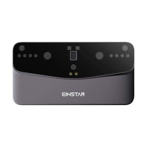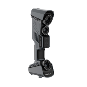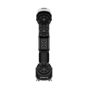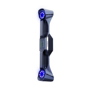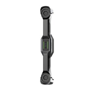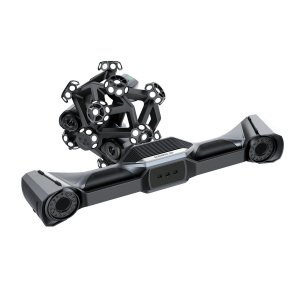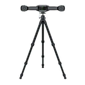


XGRIDS K1 RTK Geopositioning Module: scanning large areas with ground binding
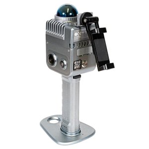
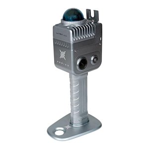
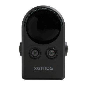
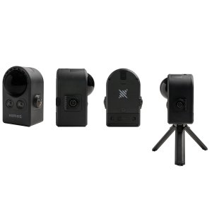
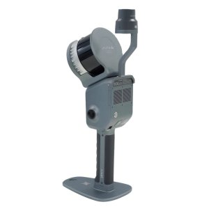
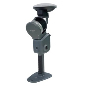
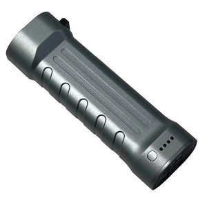
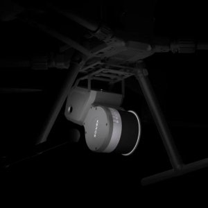
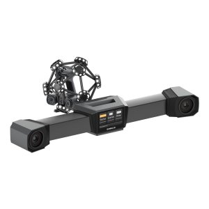
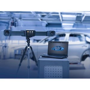
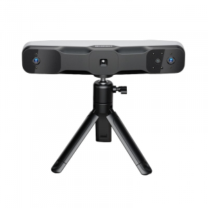
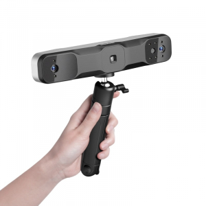
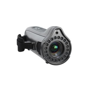
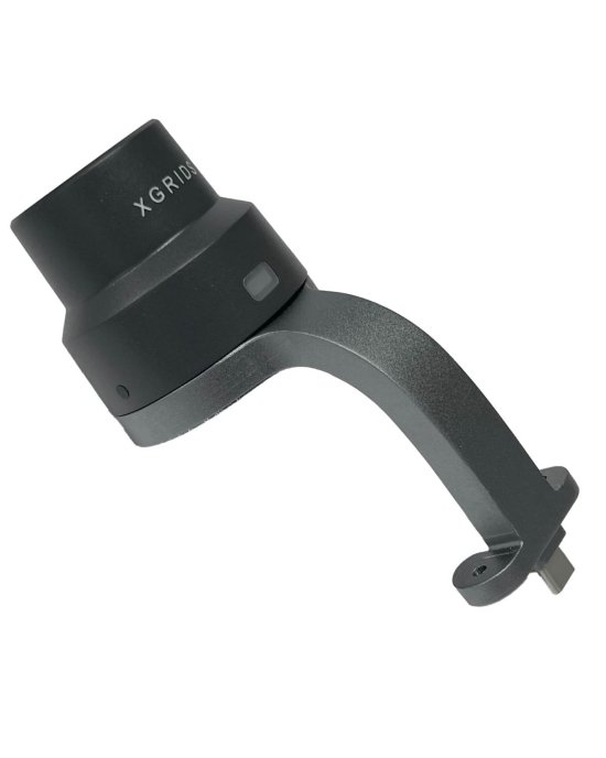
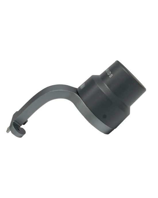
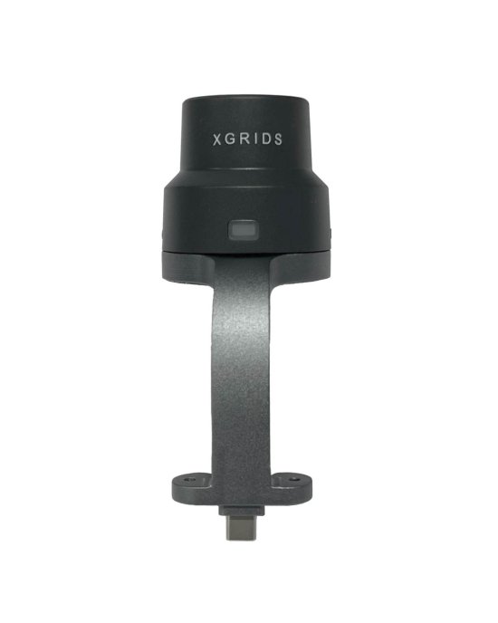
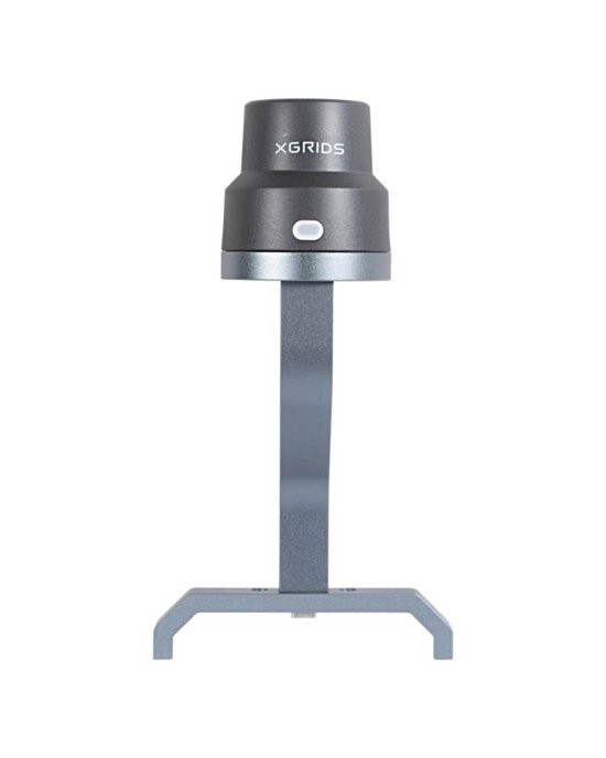
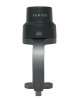
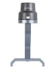
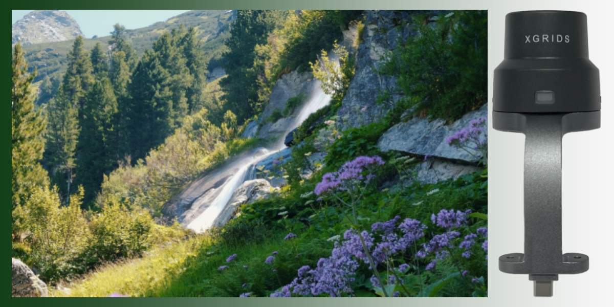
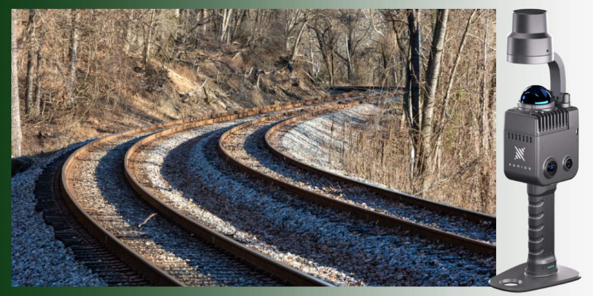
The XGRIDS K1 RTK Module is an addition to the basic XGRIDS Lixel K1 model (or "Lixel Kity K1"), which adds the RTK (Real-Time Kinematic) geopositioning function. Thanks to this, during scanning, coordinates are obtained in a global system with high accuracy, minimizing the need for significant post-processing, control points, etc.
Main features XGRIDS K1 RTK module
- The module allows you to get absolute coordinates during scanning 3D without the need for a significant number of Ground Control Points (GCP).
- It has status indicators: an LED or other signals that show whether the RTK module is connected, whether a "fixed" solution has been obtained, or whether the signal is "float" or "inaccurate."
- It supports working with various RTK formats / correction sources: "Custom," "Qianxun SI," "China Mobile," and others, depending on the region and signal provider.
- The RTK module integrates hardware and software with K1, used in conjunction with the LixelGO application for setup, signal control, and status.
Where the K1 RTK module is used
- Geodesy and cartography: when accurate absolute geopositioning of buildings, plot boundaries, profiles, and terrain is required.
- Engineering infrastructure: control of bridges, structures, communication lines, pipelines, when an error in positioning will lead to undesirable consequences.
- Construction and BIM modeling: formation of volumetric 3D models, digital twins with accurate binding to coordinate systems.
- Architecture and protection of cultural heritage: 3D scanning of facades, interiors, historical objects, when the accuracy of position is important.
- Monitoring of the environment and landscapes: changes in terrain, erosion, control of humidity/changes in vegetation, anthropogenic influences.
Advantages for users of the K1 RTK module
Significant reduction in post-processing time — fewer correction points, fewer alignments and manual work.
Reduction of absolute positioning errors — project plans, maps, and BIM objects are immediately in the coordinate system without major shifts.
Increased data reliability — when the RTK signal has a "fixed" status, the point cloud will have high accuracy and less noise.
The ability to work on a large scale: on streets, in open spaces, in areas where there is an access point for RTK corrections, without the need for a large amount of ground preparation.
Improved model quality: better geometry, better integration of color and LiDAR points, fewer distortions, especially at the edges of the scan.
- Limitations: when the use of the XGRIDS K1 RTK module does not bring significant improvements
- If scanning is performed indoors or in places without an RTK signal, the module will not be able to get a "fixed" solution, and the accuracy of absolute positioning will decrease.
- If the task allows a larger error, for example, ±5-10 cm, or if the content of the work is only to create relative models without rigid external coordinates, the cost of the module may be excessive.
- If needed, I can provide a comparison of the K1 without RTK vs with RTK with numbers (accuracy, time, cost) — this can help the user make a decision.
You can choose high-quality 3D accessories that will improve the properties of scanners and allow you to film with a binding to coordinates both on the website and by phone. We will be happy to advise you, answer your questions, and share our experience: contact us!