


- Stock: In Stock
- Product code: 00-00012537


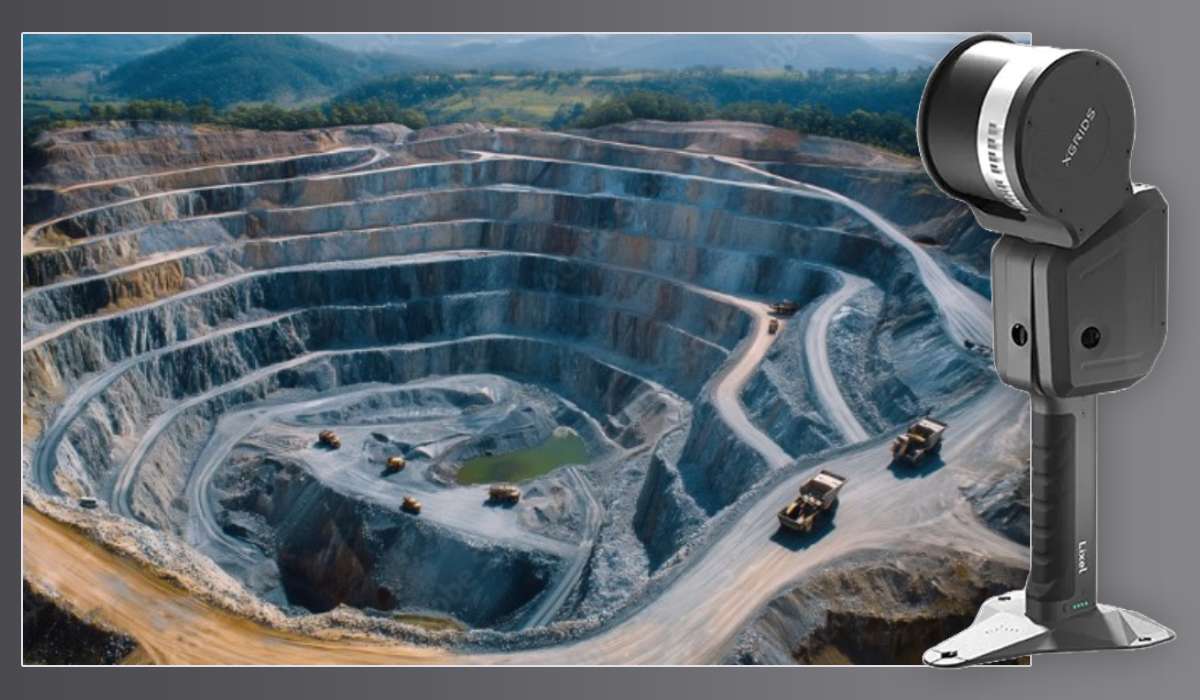
3D scanner XGRIDS L2 Pro 32/300 – color terrain scanning
The XGRIDS L2 Pro 32/300 3D scanner is a powerful solution for high-precision terrain scanning. It's designed for professional use. The scanner is suitable for tasks requiring high detail and a large coverage area. The maximum scanning radius is 300 meters. This is the best scanner for terrain scanning.
LiDAR module: the foundation of accuracy and speed
The LiDAR module of the XGRIDS L2 Pro 32/300 scanner is its main element. It provides high performance. The module has 32 channels. This allows for collecting a large amount of data in a short time. The scanning range is from 0.5 to 300 meters. Such a range is suitable for working in various conditions. The scanner can effectively work both indoors and outdoors.
Data collection speed reaches 640,000 pixels per second. This allows for quickly creating dense point clouds. The laser class of the scanner is Class 1. The laser wavelength is 905 nanometers. Such a laser is eye-safe. The viewing angle of the LiDAR module is 360 ° × 270 °. This ensures full coverage of the scanned area. The scanner captures maximum information.
Cameras of the XGRIDS L2 Pro 32/300 3D scanner: detailing and positioning
The scanner has two panoramic cameras. The resolution of each camera is 48 megapixels. The cameras have a 1/2 inch CMOS sensor. The focal length of the cameras is 2 millimeters. The F/2.0 aperture provides excellent image quality. The cameras use a rolling shutter. The viewing angle of each camera is 190 ° × 190 °. These cameras capture detailed color data, enriching the 3D models.
In addition to panoramic cameras, the L2 Pro 32/300 model has a visual positioning camera. Its resolution is 1 megapixel. The camera has a global shutter. The viewing angle of the camera is 190 ° × 119 °. This camera ensures precise positioning of the scanner in space, improving the alignment of point clouds.
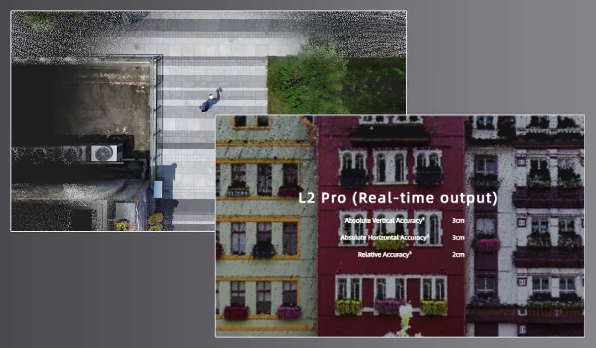
Absolute scanning accuracy of the XGRIDS 3D scanner is 3 cm
XGRIDS L2 Pro 32/300 has exceptional accuracy indicators. Relative accuracy is about 1 cm, guaranteeing high detail when creating 3D models. Absolute accuracy (vertical/horizontal) is about 3 centimeters. Horizontal accuracy with RTK reaches 0.015°. Vertical accuracy is 0.03°.
Scanning repeatability is about 2 centimeters, indicating the stability of the results. The point thickness is about 0.5 centimeters. The scanner supports LixelUpSample™ technology, allowing it to reduce the point step to 1 millimeter. This significantly increases the detail of the scanned objects.
File formats and data storage
The XGRIDS L2 Pro 32/300 scanner supports standard cloud formats, including .las and .ply. Sometimes the .rcp format is used. Images are stored in .jpg format, ensuring compatibility with most software.
The built-in scanner storage is an SSD drive with a volume of 1 terabyte. This volume is sufficient for storing a large amount of data, allowing the user to conduct long scanning sessions.
Physical characteristics and operating conditions of XGRIDS L2 Pro 32/300
The weight of the scanner without battery is about 1.7 kg, making it light and convenient to carry. The dimensions of the device are approximately 180×130×400 millimeters, giving the scanner a compact form factor.
The scanner body is made of aviation aluminum. This material ensures strength and durability. IP54 standard protection guarantees resistance to dust and splashes. The scanner can operate in a wide temperature range, from –20 °C to +50 °C, allowing its use in various climatic conditions.
Power supply and communication
The XGRIDS L2 Pro 32/300 is powered by a Li-ion battery. The battery voltage is 14.4 volts, and the capacity is 46.8 watt-hours (approximately 3.25 amp-hours). The battery provides about 1.5 hours of continuous operation. The scanner power consumption is less than 30 watts.
The scanner is equipped with various data transfer interfaces. It has a USB 3.1 Gen 2 port. Wireless connections Wi-Fi and Bluetooth are also available. 802.11a/b/g/n/ac standards are supported. The frequency range is 2.4-5.8 GHz. This provides flexibility in connecting and transferring data.
Standard Package L2 Pro 32/300
The standard package of XGRIDS L2 Pro 32/300 includes everything needed to start working. The set includes the XGRIDS L2 Pro Handheld 3D scanner itself. One XGRIDS battery (46.8 Wh/14.4 V) is provided. Also included are a charger and converter.
A USB-Type-C cable is provided for connection. The GCP assembly plate (Reference Plate) helps with calibration. A protective cover/casing ensures the safety of the device. The set includes a Quick Start Guide and a warranty card. A cleaning cloth helps maintain the scanner in working condition. The set includes three activation keys for LixelStudio software. A carrying case provides convenient transportation.
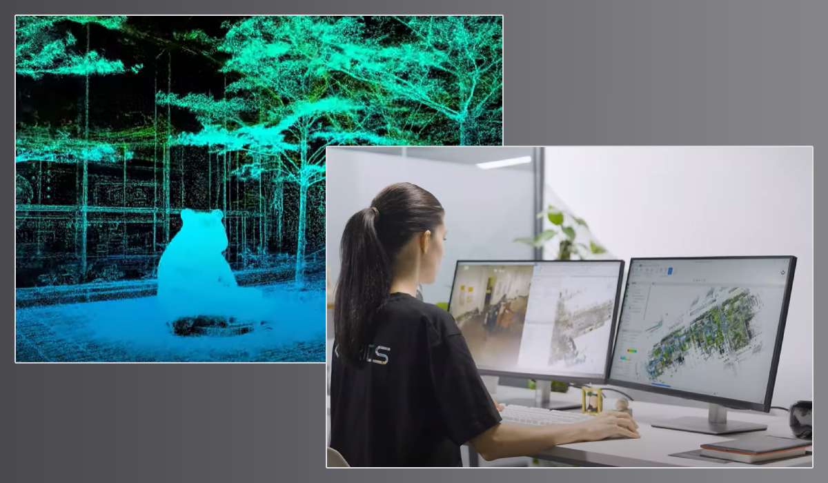
Licensed Software from XGRIDS / Lixel Studio
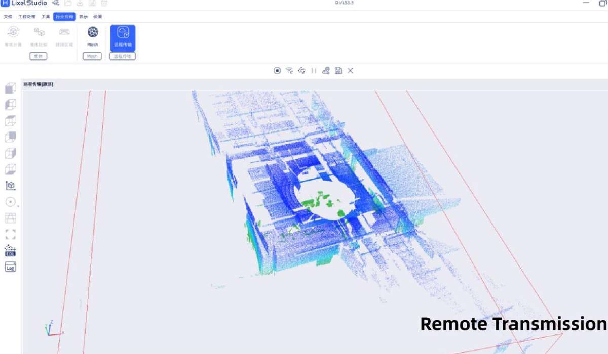
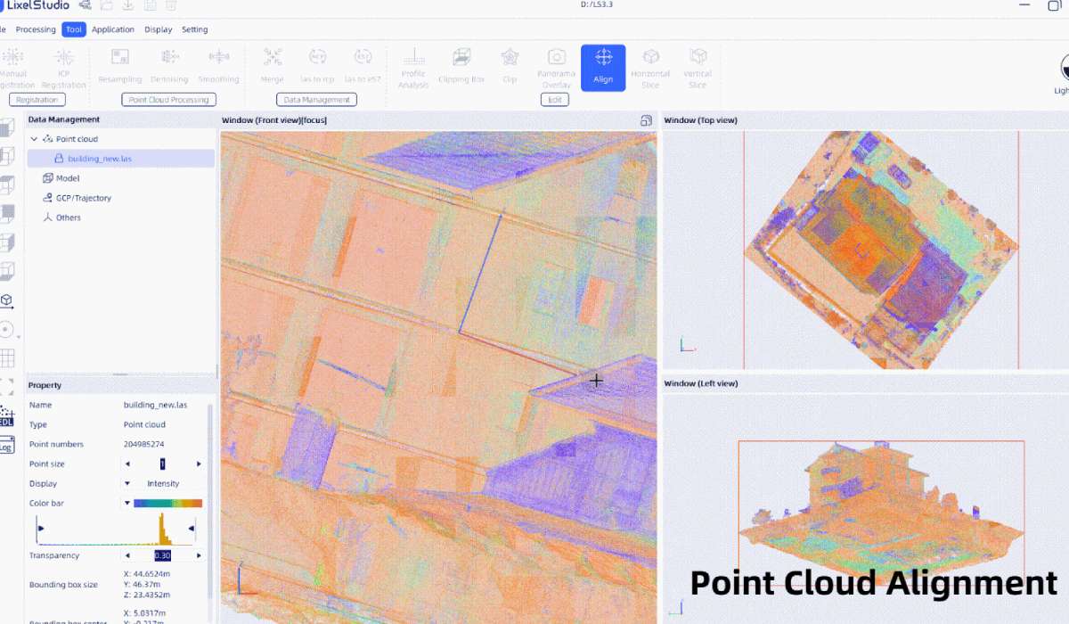
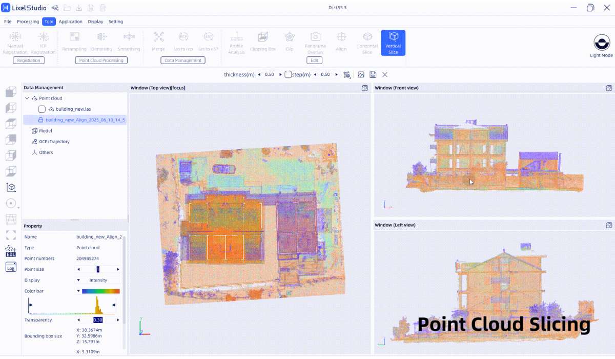
Lixel Studio (basic version): a free program included with the scanner; it provides viewing/exporting point clouds (.las, .ply), simple registration, and color assignment
LCC Studio / LCC Studio Professional: paid versions with extended functions: automatic registration, Gaussian Splat model generation, quality settings, .lcc/.ply/.e57 export, and more
Veesus Suite: free for 12 months (then paid) Viewer, publishing, planning, web‑export: used for visualization, sectioning, viewing, and publishing point cloud data (Point Server, Zappcha, etc.)
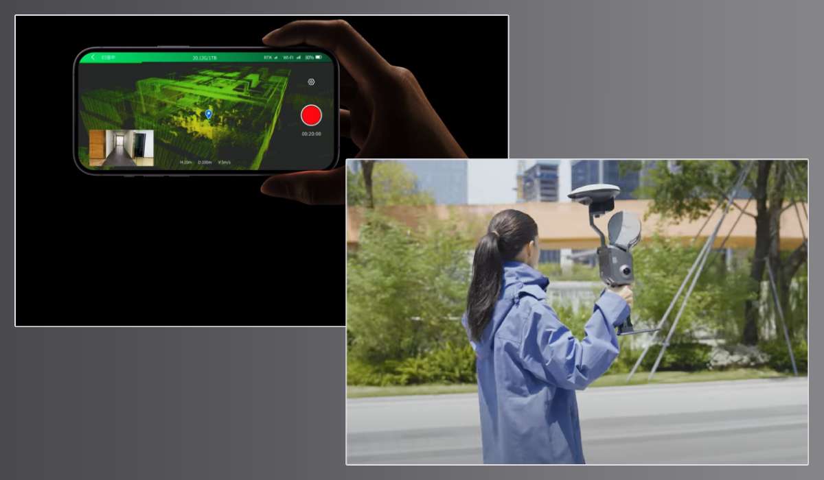
LixelGO: mobile application (iOS / Android) free application from XGRIDS Limited
Software capabilities for the scanner and LixelGO mobile devices
- Real-time point cloud viewing
- Instant display of movement trajectory, point cloud, and color images on a smartphone in scanning mode
- Scanner settings management
- Selection of scanning mode, configuration of RTK/PPK/DJI modes, setting mounting mode (Handheld, Vehicle-Mounted, drone, etc.)
- Device status monitoring
- Display of battery status, memory, connection, Wi‑Fi, etc.
- Firmware update, activation
- Supports firmware version 3.0, controlled via the application; device activation is performed by scanning a QR code from the body via the application.
Areas of application of the L2 Pro 32/300 3D scanner
Architecture and construction
- Measurement works and building documentation
- Monitoring of structural deformations
- BIM modeling (before and after construction)
- Scanning of facades, interiors, shafts, attics
Geodesy and cartography
- Rapid terrain mapping without a GNSS base
- Creation of digital terrain models (DTM/DSM)
- RTK/PPK support for high-precision georeferencing
- Bypass routes in conditions of weak GNSS signal (tunnels, forests)
Data aggregation with drones
- Use as a ground station for GNSS positioning
- DJI PPK/RTK support, allowing joint processing of ground and aerial data
Industry
- Measurements of industrial premises and pipelines
- Control of production sites and warehouses
- Creation of digital twins for planning and automation
Transport and infrastructure
- Scanning of roads, tunnels, bridges, and overpasses
- Inspection and 3D modeling of road infrastructure
- Support for mobile (vehicle-mounted) mode
Cultural heritage
- High-detail scanning of monuments, churches, sculptures
- Restoration and digital archiving of objects
- Creation of digital models for AR/VR presentations

Forensics and insurance
- Rapid recording of accident scenes and road accidents
- Creation of 3D scenes for subsequent analysis
- Expert opinions and virtual reconstructions
Ecology and forestry
- Scanning of natural objects, ravines, rocky areas
- Inventory of forests, plantations, clearings
- Analysis of erosion, landslides, and shifts
Repair and reconstruction
- Scanning of existing buildings before renovation
- Support for engineering calculations and re-planning
- Comparison of design and actual data
3D scanning of landscapes is a rather complex task that requires time and resources. Thanks to the professional XGRIDS L2 Pro 32/300 3D scanner, you can quickly cope with the most complex terrain. Call us, XGRIDS has several models for scanning large areas, and we'll help you choose the optimal solution for your tasks.


