- Stock: In Stock
- Product code: 00-00012988



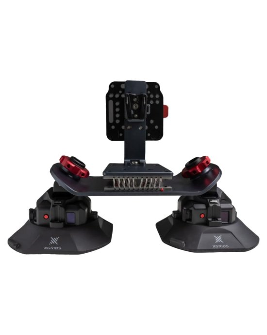
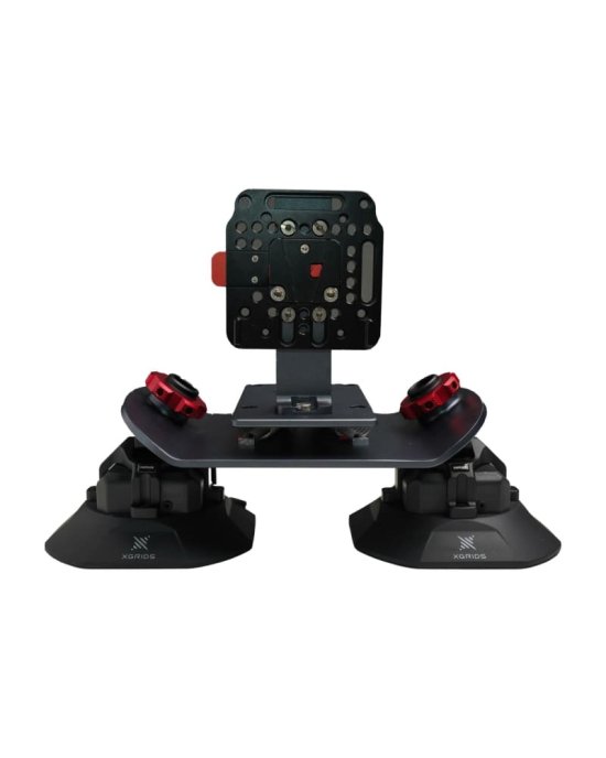
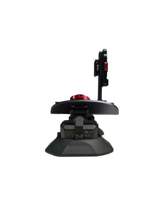
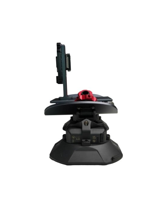
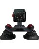
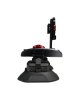
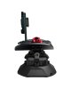
Vehicle Mount for XGRIDS L2 Pro — Professional Vehicle Mapping System for Mobile LiDAR Surveying
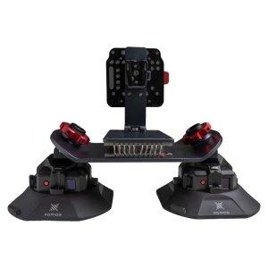
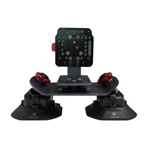
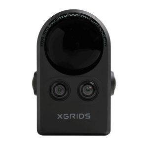
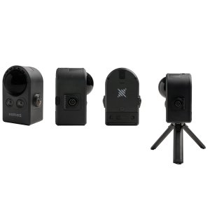
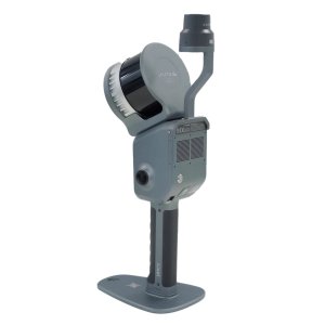
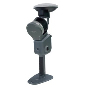
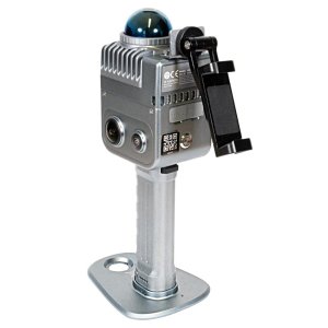
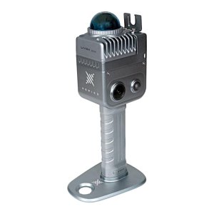
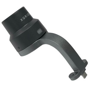
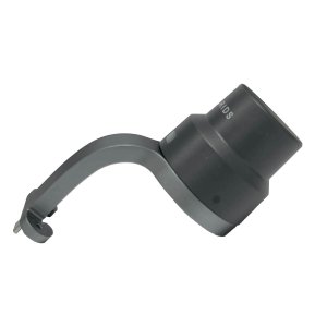
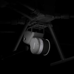
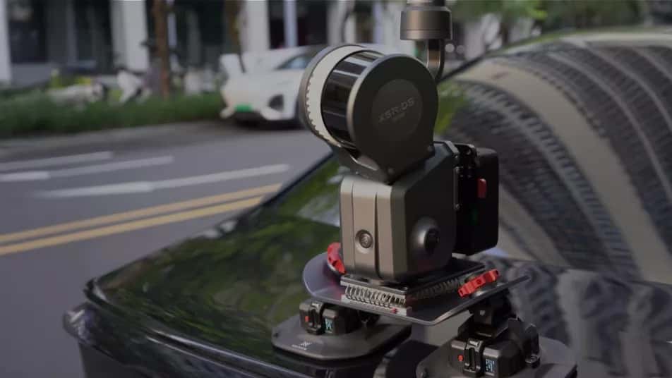
Vehicle Mount for XGRIDS L2 Pro is a professional vehicle-mounted platform developed to transform the XGRIDS L2 Pro handheld laser scanner into a high-efficiency mobile mapping solution. Designed for road surveying, urban mapping, infrastructure inspection, and large-scale geospatial data acquisition, the mount combines a secure vacuum attachment system with intelligent monitoring and real-time point cloud visualization. The result is faster fieldwork, reliable operation at driving speeds, and immediate verification of captured data without interrupting the surveying process.
Key Specifications
| Specification | Value | Why it matters |
|---|---|---|
| Recommended Survey Speed | 20–30 km/h (up to 40 km/h maximum) | Allows rapid collection of high-quality LiDAR data while significantly reducing field surveying time. |
| Relative Accuracy | 2 cm | Provides highly repeatable measurements suitable for engineering documentation and infrastructure mapping. |
| Absolute Accuracy | 3 cm horizontal / 5 cm vertical (RMSE) | Delivers reliable georeferenced point clouds even when temporary RTK interruptions occur. |
| Operating Time | Up to 3 hours | Supports long mobile surveying sessions without frequent battery replacement. |
Unlike conventional tripod-based laser scanning, the Vehicle Mount allows the XGRIDS L2 Pro to collect accurate spatial data while the vehicle remains in motion. Large road networks, industrial facilities, campuses, and urban environments can be surveyed in a fraction of the time required by traditional terrestrial scanning methods.
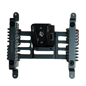
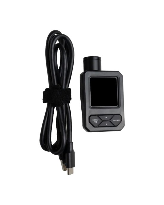
The intelligent suction mounting system continuously monitors attachment stability during operation. If any reduction in vacuum pressure is detected, the operator receives an immediate warning, helping prevent accidental equipment movement and protecting valuable surveying hardware throughout the entire acquisition process.
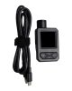
A live point cloud preview enables instant quality verification while driving. Operators can immediately identify missing coverage, tracking problems, or insufficient scan density before leaving the project site, minimizing costly repeat surveys.
Vehicle-Based Mobile Mapping Technology
The Vehicle Mount converts the portable XGRIDS L2 Pro scanner into a stable mobile mapping platform capable of collecting high-density LiDAR data across extensive outdoor environments. Mounted securely to the vehicle using an industrial-grade vacuum attachment system, the scanner captures continuous spatial information while traveling at normal surveying speeds.
Compared with traditional static scanning workflows, vehicle-mounted acquisition dramatically increases productivity for long transportation corridors, highways, municipal infrastructure, industrial parks, and utility inspection projects.
Intelligent Vacuum Mounting System
Reliable attachment is critical during vehicle-based surveying. The Vehicle Mount incorporates an intelligent suction monitoring system that continuously supervises mounting pressure throughout the scanning operation.
Whenever the vacuum level changes unexpectedly, the system immediately alerts the operator. This proactive safety feature reduces the risk of equipment movement caused by road vibration, changing weather conditions, or extended survey sessions.
The stable mounting platform also minimizes vibration transmitted to the scanner, helping maintain consistent point cloud quality during mobile data acquisition.
Live Point Cloud Quality Control
Real-time visualization of the generated point cloud provides immediate feedback during field operations. Instead of discovering missing areas after returning to the office, operators can evaluate data quality while the survey is still in progress.
Continuous point cloud preview improves workflow efficiency by allowing immediate correction of incomplete coverage, insufficient overlap, or tracking interruptions before the vehicle leaves the project area.
This approach significantly reduces project delays, eliminates unnecessary repeat field visits, and improves overall confidence in the final dataset.
Designed for High-Speed Geospatial Data Collection
The Vehicle Mount has been optimized for efficient mobile mapping applications. Recommended operating speeds between 20 and 30 km/h provide the best balance between acquisition quality and productivity, while the system supports vehicle speeds of up to 40 km/h when project conditions require faster coverage.
When combined with the XGRIDS L2 Pro mobile laser scanner, the platform enables rapid surveying of road infrastructure, transportation corridors, construction projects, utility networks, and extensive outdoor environments that would otherwise require many hours of conventional terrestrial scanning.