- Stock: In Stock
- Product code: 00-00015161



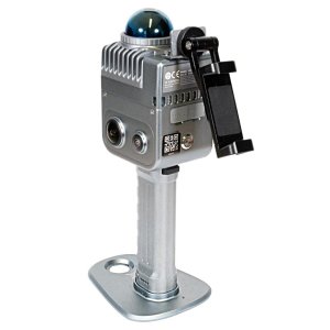
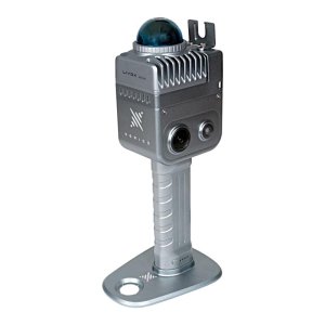
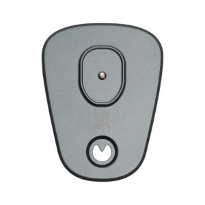
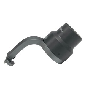
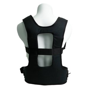
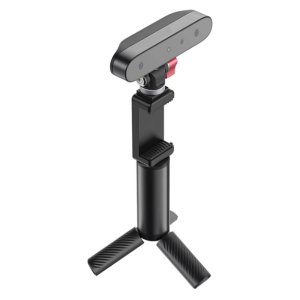
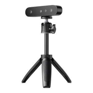
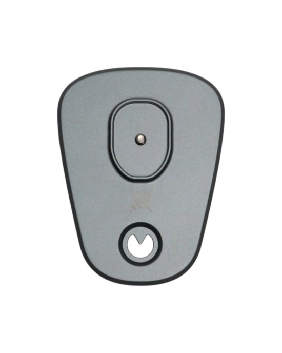
GCP Target Plate for the XGRIDS Lixel K2 3D Scanner
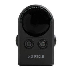
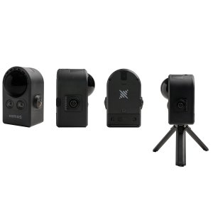
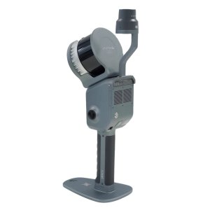
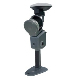
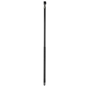
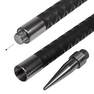
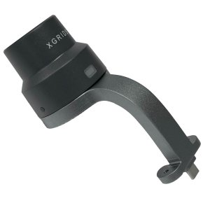
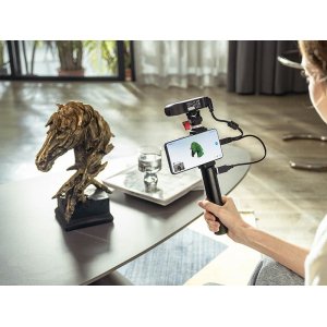
GCP target plate for the XGRIDS Lixel K2 3D scanner — an auxiliary element for working with ground control points during spatial scanning. It is used for precise positioning of the scanner relative to a specified location and subsequent georeferencing of the acquired data to an absolute coordinate system during processing in LixelStudio.
What the GCP Target Plate Is Used For
The plate is used as part of the workflow with GCP control points. It helps correctly position the XGRIDS Lixel K2 at a specified location and register the corresponding control point in the system.
Main functions:
- use together with the XGRIDS Lixel K2 handheld 3D scanner;
- positioning the equipment relative to a ground control point;
- participation in coordinate referencing of scanning results;
- support for working with standard control markers and special targets;
- use together with LixelGO and LixelStudio.
How Coordinate Referencing Works
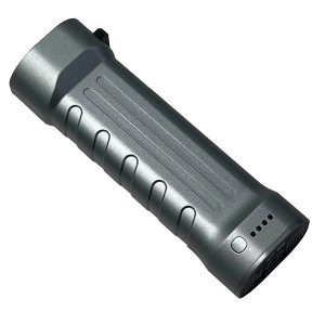
External GCPs can be used to obtain georeferenced spatial data. With this workflow, the XGRIDS Lixel K2 is installed together with the battery and GCP base.
At the specified location, the plate is aligned with the control point on the surface. After correct positioning, the corresponding GCP is registered in LixelGO. The saved data is then used during project processing.
In LixelStudio, the coordinate information of external GCPs can be matched with the data acquired during scanning. This makes it possible to transform the survey results into the required coordinate system.
GCP Placement Requirements
For a single scan, it is recommended to use at least 3 GCPs. Control points should be distributed evenly throughout the survey area and should not all be placed in a single line.
When working with the XGRIDS Lixel K2, it is also recommended to:
- maintain a distance of less than 50 m between adjacent GCPs;
- place control points throughout the entire scanning area;
- move the scanner smoothly after registering a GCP;
- after registering a control point, walk around it 1–2 times or remain nearby briefly to collect more complete spatial data;
- after registering the last GCP, wait at least 15 seconds before ending the recording.
Applications
The GCP target plate is used in workflows where 3D scanning results need to be linked to a known coordinate system. It can be used for:
- geodetic measurements;
- engineering surveys;
- spatial surveying of objects;
- scanning buildings and infrastructure;
- creating georeferenced point clouds;
- projects where the use of RTK is limited or impractical.
The external GCP method is suitable for work both indoors and outdoors. In contrast, the use of RTK depends on the availability of the corresponding signal and the conditions for receiving it.
Compatibility and Operating Parameters
| Parameter | Value |
| Compatible equipment | XGRIDS Lixel K2 |
| Purpose | Working with external GCPs |
| Data collection | LixelGO |
| Data processing | LixelStudio |
| Control point types | Standard control markers or special targets |
| Minimum number of GCPs | 3 |
| Distance between adjacent GCPs | Less than 50 m |
| Operating conditions | Indoors and outdoors |
Order the GCP Target Plate for XGRIDS Lixel K2 in Ukraine
For consultation and additional details, contact our specialists. We will help you select the necessary equipment and accessories for your workflow. We provide delivery throughout Ukraine.
| Key Parameters | |
| Manufacturer Country | China |
| Compatible Series | XGRIDS Lixel K2 |