
- Stock: In Stock
- Product code: 00-00015156



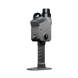
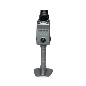
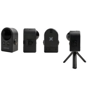
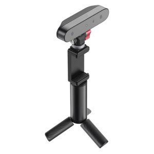
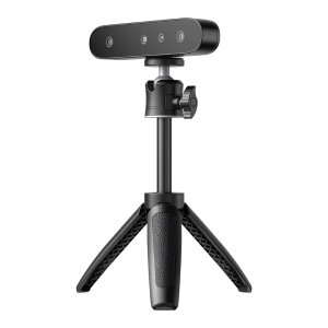
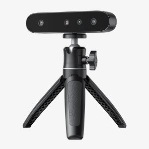
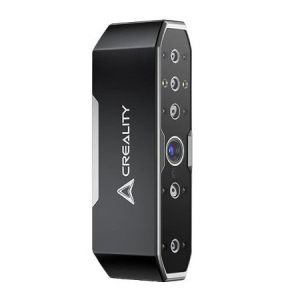
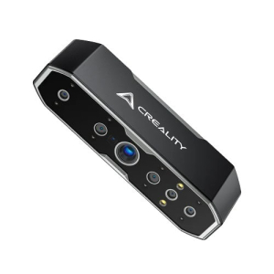
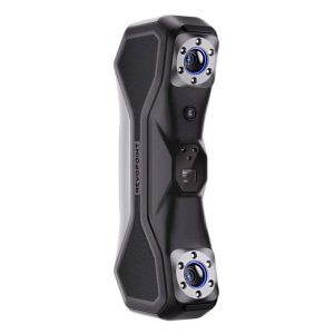
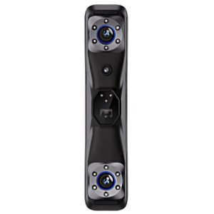
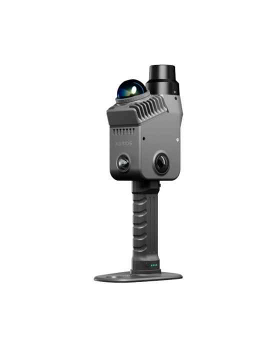
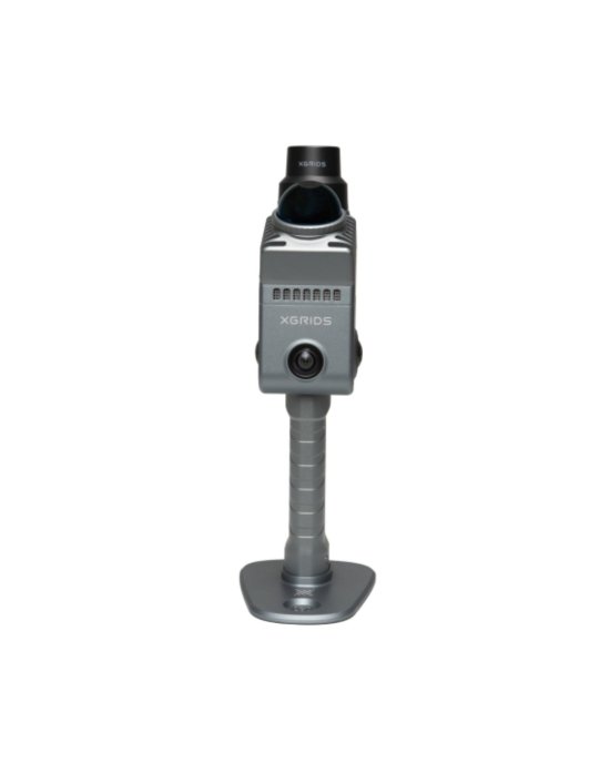
XGRIDS Lixel K2 mobile LiDAR scanner for spatial data capture
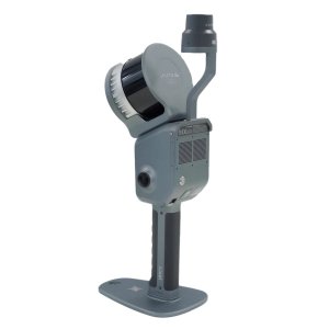
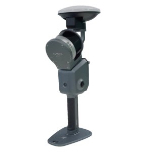
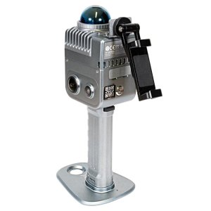
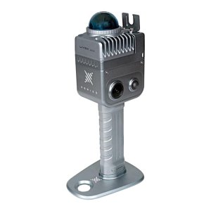
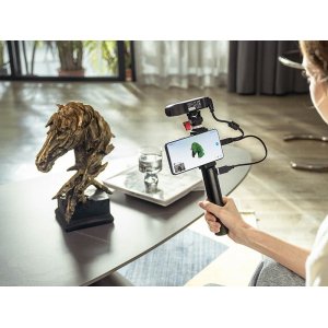
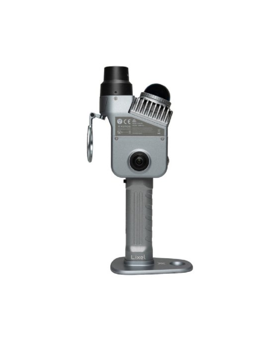
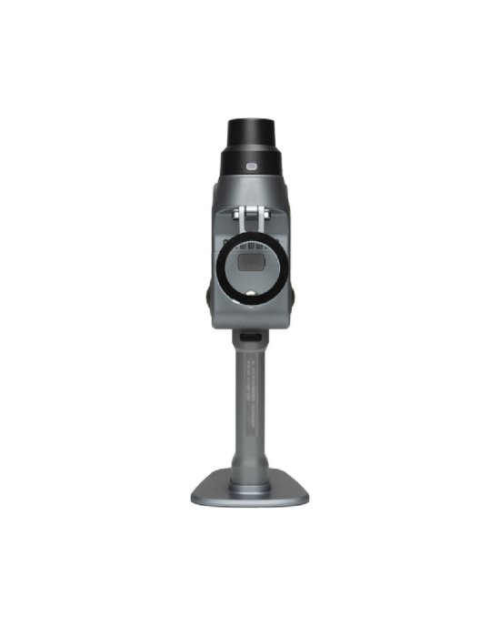
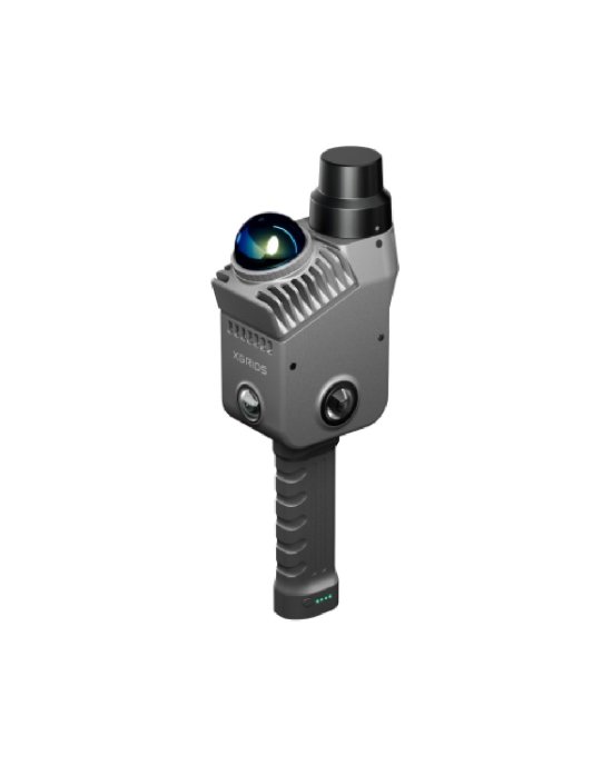
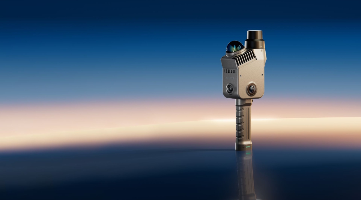
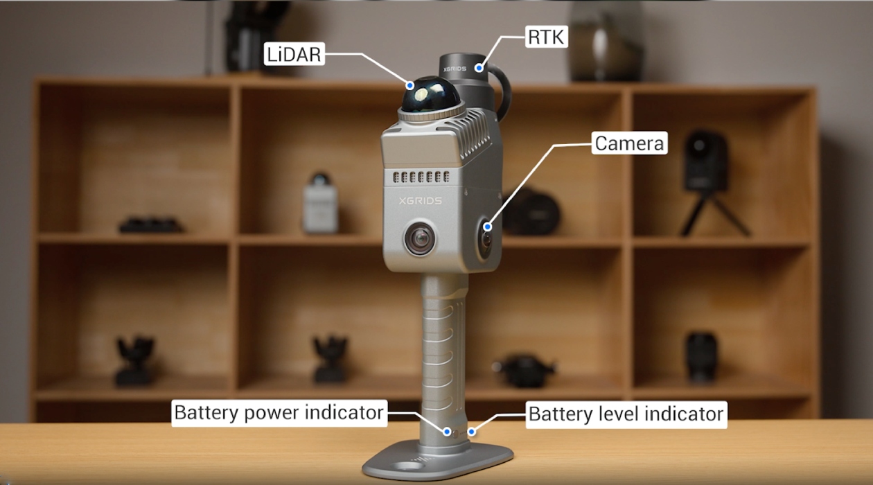
XGRIDS Lixel K2 is a mobile LiDAR scanner designed for fast spatial data capture and real-time generation of colorized point clouds. The device integrates a laser sensor, SLAM positioning system, built-in RTK module, and optical cameras in a single housing. The scanner is used for surveying indoor spaces, construction sites, infrastructure facilities, and building facades.
Key features and advantages of XGRIDS Lixel K2
- Accurate scanning while moving. Relative accuracy reaches up to 1 cm. SLAM algorithms help the scanner maintain stable positioning and generate accurate spatial data.
- Scanning large indoor and outdoor areas. The LiDAR operates at distances of up to 40 m for surfaces with 10% reflectivity.
- Fast spatial data capture. The scanner records up to 200,000 points per second, enabling rapid generation of dense point clouds.
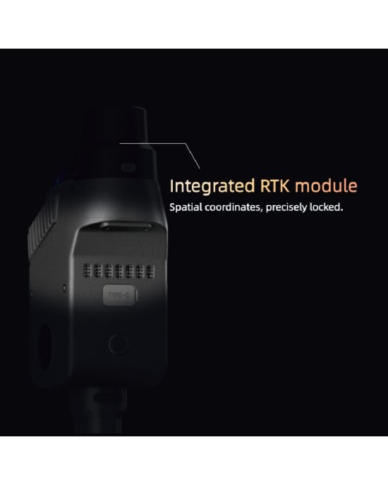
- Georeferencing with fewer control points. The built-in RTK module makes it possible to obtain absolute coordinates during scanning.
- Creation of realistic 3D models. The system supports 3D Gaussian Splatting and captures visual data for subsequent creation of 3DGS models in specialized software.
- Extended battery operation. The removable battery provides up to 1.5 hours of continuous scanning without connection to an external power source.
How LiDAR and SLAM work in XGRIDS Lixel K2
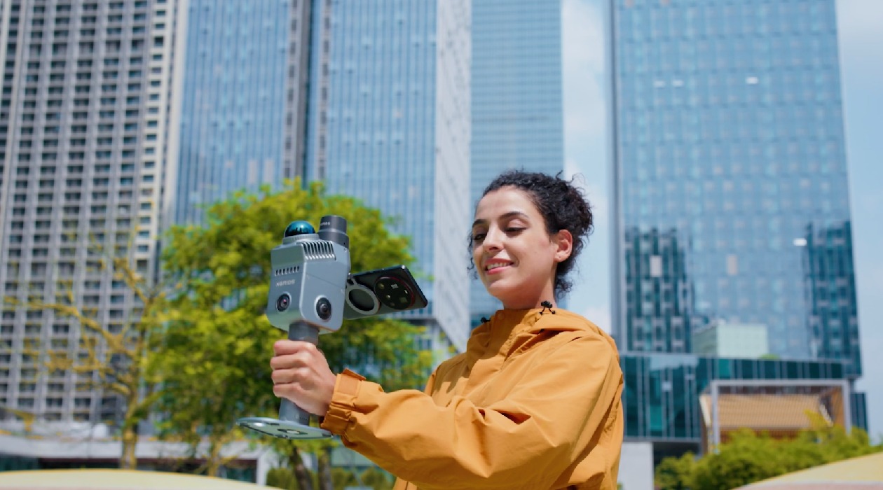
XGRIDS Lixel K2 combines LiDAR, satellite and inertial sensors with SLAM algorithms. As the operator moves, the scanner simultaneously determines its position in space and builds a three-dimensional map of the surrounding environment. This makes it possible to perform mobile scanning without setting up tripods or stopping at multiple static scanning positions.
The LiDAR module provides a scanning range of up to 40 m for surfaces with 10% reflectivity and up to 70 m for surfaces with 80% reflectivity. The data capture rate reaches up to 200,000 points per second, while the field of view covers 360° horizontally and 270° vertically. For optimal point cloud density, the recommended distance to the object is 1–25 m. This scanning method is suitable for digitizing interiors, construction sites, corridors, underground parking areas, and surrounding outdoor spaces.
Accuracy and georeferencing performance of XGRIDS Lixel K2
Relative measurement accuracy reaches up to 1 cm. This parameter describes the geometric accuracy of the relative position of points within a single scanned object or space. The point cloud thickness is ≤ 1 cm on flat surfaces, helping to clearly define the boundaries of walls, floors, and structural elements. When using the built-in RTK module and connecting to an NTRIP/CORS network, the absolute georeferencing accuracy in a global coordinate system can reach 2–5 cm depending on satellite signal conditions.
Point cloud colorization and optical camera system
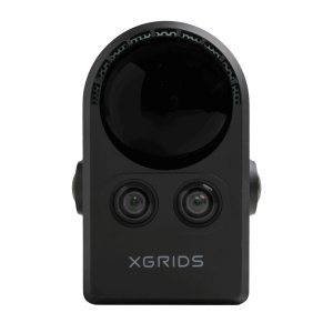
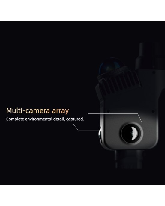
The device housing includes cameras for image capture and point cloud colorization. A high-resolution front camera records the color characteristics of surfaces while the operator is moving. The software algorithms match the captured images with LiDAR measurements to generate an RGB point cloud. This makes it easier to identify materials, utility systems, and finishing elements when preparing technical drawings and BIM models.
Software for controlling XGRIDS Lixel K2 and processing data
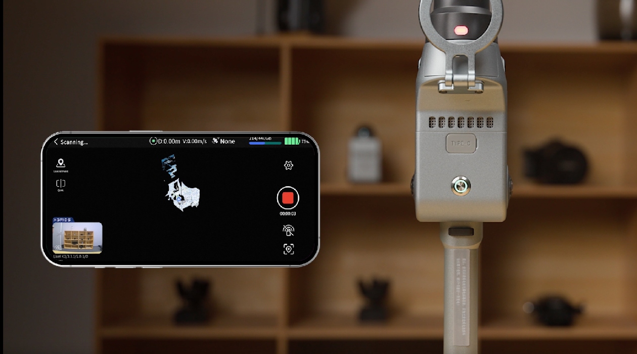
Several software solutions are used with XGRIDS Lixel K2. LixelGO is an Android mobile application that allows users to control the scanner, select scanning modes, track the scanning route, and view the point cloud in real time. LixelStudio is designed for further data processing on a computer, including project merging, noise filtering, polygon mesh generation, and measurements of distances, areas, and volumes. Lixel CyberColor / LCC Studio is used to process photometric data and create 3DGS models based on the materials captured during scanning.
Applications of XGRIDS Lixel K2
- Real estate measurements and floor plan creation. Fast capture of the geometric parameters of apartments, offices, and retail spaces for preparing floor plans.
- Construction monitoring and project management. Recording construction progress and comparing completed work with project documentation.
- Building information modeling. Capturing spatial data for further modeling of engineering systems and building structures in Revit or Archicad.
- Architectural measurements and interior design projects. Digitizing facades, decorative elements, and interiors before renovation or redevelopment.
- Volume measurements. Calculating the volume of bulk material stockpiles, excavations, and stored materials.
- Digital twins and virtual models. Creating digital copies of industrial and civil facilities for visualization, presentations, and virtual tours.
XGRIDS Lixel K2 Standard Package contents
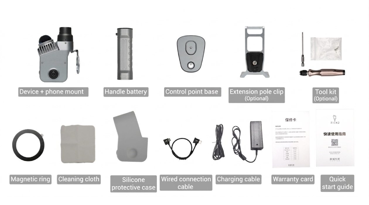
The standard package includes the basic equipment and accessories required to begin field work.
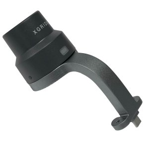
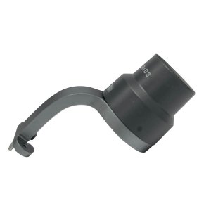
- XGRIDS Lixel K2 3D scanner + phone mount. The main device for mobile 3D scanning and a mount for attaching a smartphone during operation.
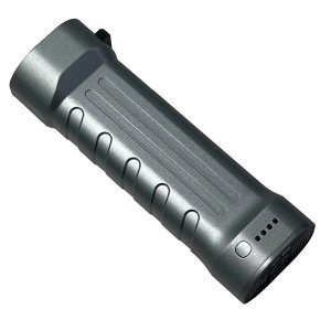
- Battery handle. A removable power module that provides autonomous operation of the 3D scanner.
- Control point base. Used with control points during scanning and for data georeferencing.
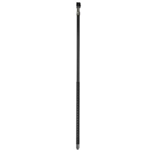
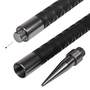
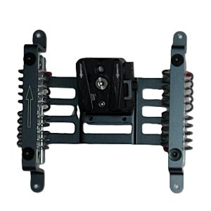
- Extension pole mount — optional. An adapter for attaching the scanner to a compatible extension pole.
- Tool kit — optional. A set of auxiliary tools for equipment installation and maintenance.
- Magnetic ring. An accessory for securing and using compatible system components.
- Cleaning cloth. Designed for gentle cleaning of surfaces and optical components of the device.
- Silicone protective case. Protects the device housing from scratches and minor mechanical damage.
- Wired connection cable. Used to connect the scanner to compatible equipment via a wired connection.
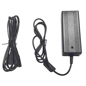
- Charging cable. Designed for connecting charging equipment and charging the battery.
- Warranty card. Contains information about warranty terms and device servicing.
- Quick start guide. Contains the basic instructions for initial setup and starting to use XGRIDS Lixel K2.
Technical specifications of XGRIDS Lixel K2
Optical system and performance
| Specification | Value |
| Device type | Mobile handheld LiDAR scanner |
| Scanning mode | Mobile |
| Maximum LiDAR range | ≥ 40 m at 10% reflectivity; maximum range — up to 100 m |
| Point capture rate | 200,000 points/s |
| LiDAR field of view (FOV) | 360° × from −7° to +52° |
| Laser class | 1 |
| Relative accuracy (RMSE) | 1 cm |
| Post-processed point cloud thickness | ≤ 1 cm |
| Horizontal absolute accuracy | 3 cm |
| Vertical absolute accuracy | 3 cm |
| Real-time horizontal absolute accuracy | 3 cm |
| Real-time vertical absolute accuracy | 3 cm |
| Repeatability | 2 cm |
| RTK module | Built-in |
| Number of cameras | 3 cameras |
| Panoramic camera field of view | 200° × 200° |
| Front camera field of view | 100° × 85° |
| Camera resolution | 4000 × 3000 |
| CMOS sensor size | 1/2″ |
Physical and operating specifications
| Specification | Value |
| Built-in storage | 512 GB eMMC |
| Data transfer interface | USB 3.1 Gen 2 |
| Wi-Fi | IEEE 802.11a/b/g/n/ac, 2.4 and 5 GHz |
| Bluetooth | v2.1 + EDR / 3.0 + HS / 4.2 / 5.0 |
| GNSS | BDS, GPS, GLONASS, Galileo, QZSS, SBAS |
| Input voltage | 14.4 V |
| Power consumption | < 20 W |
| Battery life | Up to 1.5 hours |
| Battery type | Removable Clip-on battery |
| Battery capacity | 1900 mAh |
| Operating temperature | From −20 °C to +50 °C |
| Ingress protection rating | IP54 |
| Housing material | Aerospace-grade aluminum |
| Net weight | 1.2 kg |
Recommendations for accurate mobile scanning
- Optimal walking speed. Move at a speed of 1–1.5 m/s to maintain uniform point cloud density and stable scanning.
- Closed-loop scanning route. Whenever possible, finish the scanning route at the starting point. This helps reduce accumulated drift when using SLAM algorithms.
- Working distance from surfaces. When scanning indoor spaces, maintain a distance of 1.5–15 m from surrounding objects.
- Smooth movement between rooms. When passing through doorways and narrow passages, avoid sudden turns and rapid scanner movements.
- Check scanning completeness. Monitor map generation in the LixelGO application to identify areas with insufficient coverage and rescan them if necessary.
- Use RTK outdoors. When a stable internet connection is available, use RTK mode to receive NTRIP corrections and achieve more accurate data georeferencing.
Buy XGRIDS Lixel K2 Standard Package
Order the XGRIDS Lixel K2 Standard Package if you need a mobile 3D scanner for fast indoor measurements, construction monitoring, and preparing spatial data for building information modeling. We will help you select the optimal configuration and provide consultation on the capabilities of the XGRIDS Lixel K2 Standard Package and delivery terms.