


- Stock: In Stock
- Product code: 00-00012539


XGRIDS RTK Standard Kit – 3D Scanning with Geocoordinate Binding
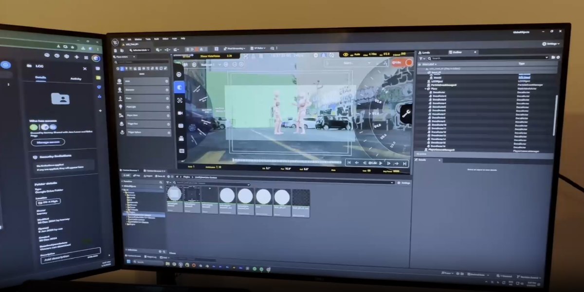
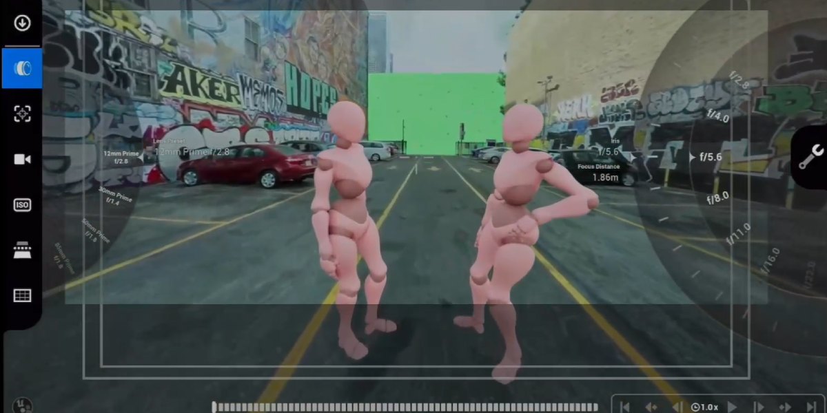
XGRIDS RTK Standard Kit is an additional satellite positioning module for the XGRIDS Lixel L2 Pro scanner system, providing RTK (Real Time Kinematic) class accuracy with real-time geolocalization. It is designed for tasks where centimeter-level accuracy is important in open areas — locations with a stable GNSS signal. The module significantly speeds up the workflow, reduces post-processing, and provides geo-referencing of point clouds immediately during the survey.

Characteristics and Properties of the XGRIDS RTK Standard Kit
Supported satellite systems:
- GPS (L1, L2, L5)
- Galileo (E1, E5a, E5b, E6b)
- BeiDou / BDS (B1, B2, B3)
- GLONASS (L1, L2)
Positioning Accuracy with the RTK Standard Kit Module
- Horizontal accuracy: ≈ 0.8 cm + 1 ppm
- Vertical accuracy: ≈ 1.5 cm + 1 ppm
Net weight: ~0.300 kg
Operating temperature range: from -20 °C to +50 °C
Operating conditions: open areas with a good GNSS signal; if the RTK signal is lost, it switches to SLAM mode with reduced accuracy
Accuracy without RTK signal (in SLAM mode): ≈ 5 cm for distances up to ~50 m; about 10 cm at ~100 m

Package Contents of the XGRIDS RTK Standard Kit Module
- RTK Standard Kit Module
- Mounting bracket for L2 Pro (Bracket)
- Set of screws for quick installation (fixed with two screws)
Compatibility: XGRIDS Lixel L2 Pro series scanners
Advantages of the RTK Standard Kit Base Module
Cost-effectiveness: compared to more advanced Survey Grade versions, the cost is lower, while the accuracy remains at a very high level in suitable conditions.
Reduced processing time: the module allows you to immediately get point clouds with geopositioning, without the need for manual correction of many control points or lengthy post-processing.
Simplified installation: the kit attaches to the Lixel L2 Pro scanner with two screws, which minimizes setup time and reduces the need for special tools.
Support for all major GNSS systems and bands: GPS, GLONASS, BeiDou, Galileo — extended support increases positioning reliability, especially with different satellite directions or poor visibility.
Optimal choice for tasks where absolute accuracy is important, but not extreme conditions: open terrain, areas with minimal sky blockages.
Features of the XGRIDS RTK Standard Kit
The module automatically switches to SLAM mode when the RTK signal is lost, preserving the ability to continue scanning, albeit with less precise geopositional binding.
The size, weight, and design are chosen so as not to weigh down the scanner significantly, maintaining portability for fieldwork.
The operating temperature from -20 °C to +50 °C ensures use in various climatic conditions.
Compatibility with XGRIDS scanner software, working through interfaces that are already built into the L2 Pro system, which simplifies setup and operation.
Precise Satellite Positioning Module: Areas of Application
- Topographic and cadastral work in open areas where sky visibility is good and GNSS signal conditions are stable.
- Architectural surveying, creating digital models of buildings, facades, when vertical accuracy is important but there are no major obstacles.
- Infrastructure: roads, power lines, transportation facilities in open areas.
- Computer graphics, when the game or film space is tied to a specific location.
- Land management, land resource management: cadastre, plot boundaries, agriculture.
- Ecological and landscape work, monitoring terrain, water bodies, ecological reserves, where geo-referencing is needed, but conditions are relatively simple.
- Intermediate tasks or projects where the budget is limited, but accuracy is needed that exceeds standard SLAM systems or incorrect GNSS without RTK.
When is the Use of XGRIDS RTK Economically Justified?
The size of the territory and the scale of the survey allow avoiding extreme obstacles (forests, buildings, narrow corridors).
Projects require geo-referencing, but there is no need for ultra-precise vertical solutions, as in Survey Grade versions.
The project timeline is limited, and saving time on installation and processing is more important than obtaining maximum accuracy in the most difficult conditions.
For mass surveying of many objects or control points: saving time and labor costs during data processing.
You can choose a 3D scanner and additional equipment on the website or through direct contact with our managers. They know a lot but are constantly learning, so they will be happy to share information. We are happy when you are satisfied!


