- Stock: In Stock
- Product code: 00-00012540



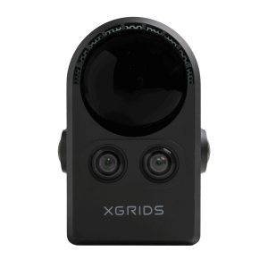
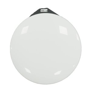
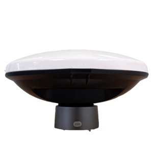
XGRIDS Survey Grade RTK Kit – Geodetic Analysis in Complex Environments
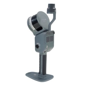
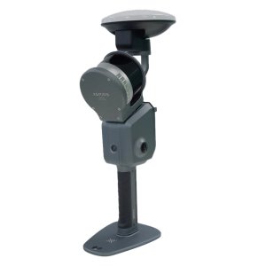
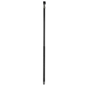
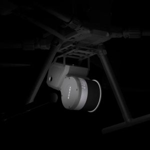
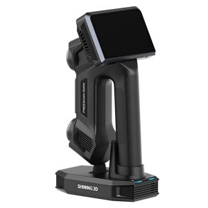
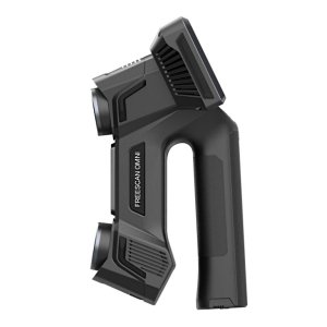
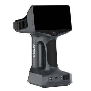
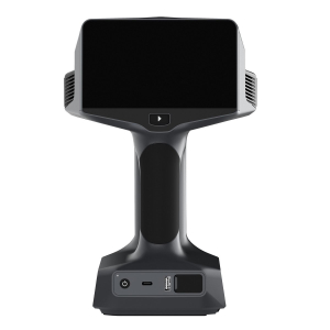
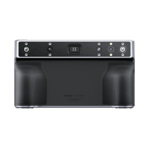
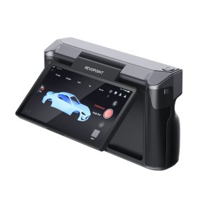
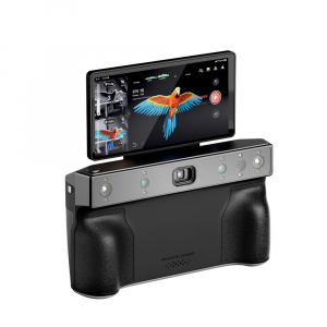
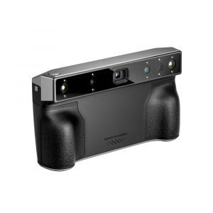
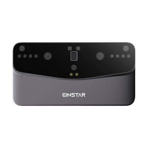
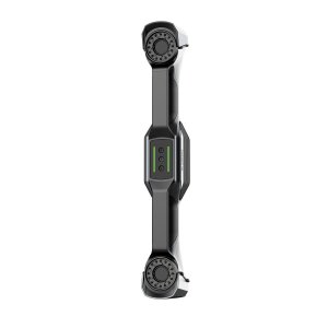
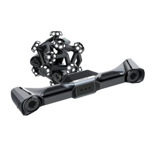
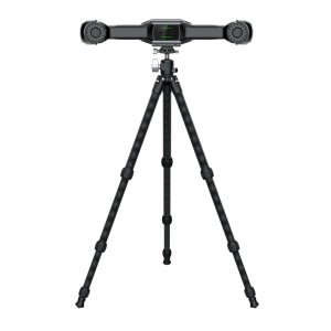
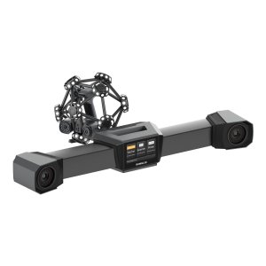
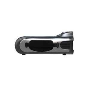
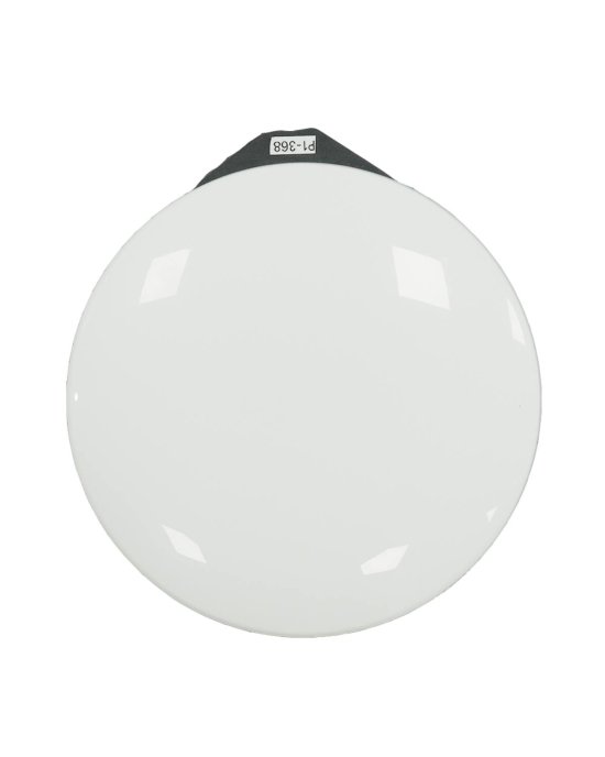
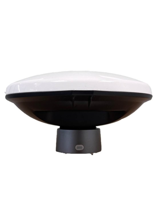
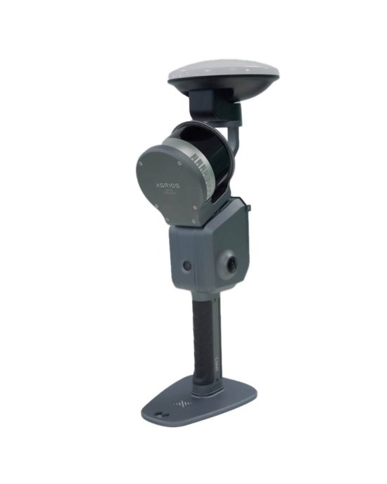
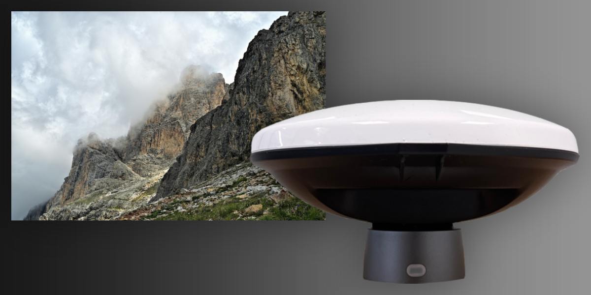
The XGRIDS Survey Grade RTK Kit is an add-on for the XGRIDS Lixel L2 Pro series LiDAR scanners, designed for geodetic analysis and surveying when the environment is too complex for a standard RTK solution. It allows you to obtain point clouds with high absolute geopositioning accuracy in real-time, even in forests, urban areas ("urban canyons"), on rugged terrain, and in conditions with reflected satellite signals.
Features of the Survey Grade RTK Kit
- Improved receiver with extended transmission range for corrective signals — allows for more stable RTK connection even with obstacles.
- Optimized antenna/receiver part to better handle multipath (multiple signal reflections) and weak satellite signals.
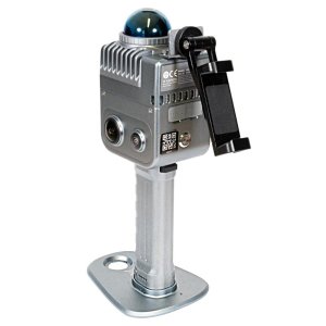
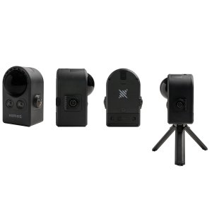
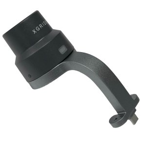
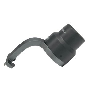
- Simple mounting design: bracket + two screws – fast assembly, minimal effort in the field.
- Moderate weight: (~0.30 kg), which practically doesn't increase the load on the scanner or the operator.
- Operates at temperatures from –20 to +50 °C, making it suitable for various climatic conditions.
Package Contents
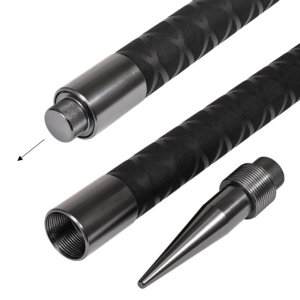
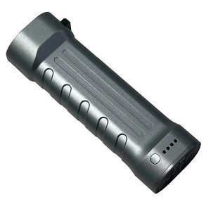
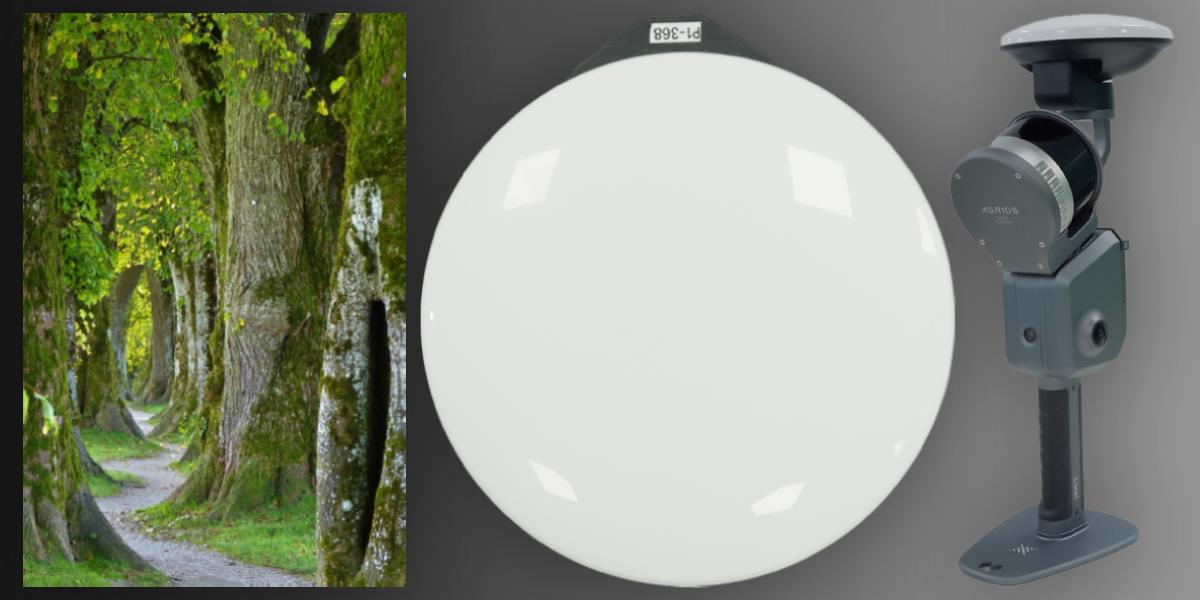
- Survey Grade RTK Kit Module
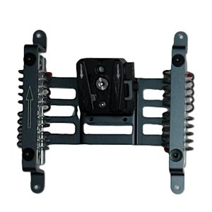
- Bracket for XGRIDS Lixel L2 Pro
- Set of screws for quick installation
Operating Conditions
Temperature range - from -20 °C to +50 °C
Works in complex signal conditions, with poor sky visibility, where standard RTK or SLAM solutions have limitations.
Compatibility
The Survey Grade RTK Kit module is compatible with:
- XGRIDS Lixel L2 Pro series 3D scanners (all models requiring RTK-fix) - connects via a bracket and screw mount.
- Software systems that process georeferenced point clouds, including GIS, BIM, mapping packages, and engineering applications.
Advantages
Signal Stability and Reliability in Complex Environments: the module maintains an RTK-fix even with partial sky blockage, reflections, in forests or between buildings. Standard RTK solutions often lose accuracy in such situations.
High Absolute Accuracy: thanks to the stated 0.8 cm + 1 ppm / 1.5 cm + 1 ppm, you can immediately get ready georeferenced data without significant calibration. This is especially valuable for 3D scanning where vertical and horizontal tolerances are critical.
Reduced Post-Processing Costs: less need for corrections, fewer control points required, less manual editing of deviations. Work goes faster.
Full Support for All Major GNSS Systems: GPS, GLONASS, BeiDou, Galileo. This means that if the geographical area changes or different correction sources are available, the module remains functional and accurate.

Where the Survey Grade RTK Kit is Used
- Geodetic surveying and topography of large and complex territories, including areas with uneven terrain, slopes, and ravines.
- Creation of digital twins of buildings and structures, facades, where precise georeferencing of structural elements is required.
- Infrastructure works: roads, bridges, tunnels, utility networks, where vertical and horizontal tolerances are critical.
- Industrial surveying, objects with metal structures, frameworks, where reflections and interference are common.
- Ecology, forestry, monitoring of vegetation cover, where changes in terrain and the position of trees or vegetation are documented.
- Archeology and cultural heritage preservation: surveying statues, ancient structures, monuments, especially in places where satellite sky view may be partially blocked (e.g., in a forest or near walls, columns).
Specification
| Parameter | Value |
|---|---|
| Device Model | XGRIDS Survey Grade RTK Kit (High Precision Positioning Module) |
| Compatibility | XGRIDS Lixel L2 Pro |
| Satellite Systems (GNSS) | GPS, GLONASS, BeiDou (BDS), Galileo |
| Supported Channels |
• GPS: L1 / L2 / L5 • GLONASS: L1 / L2 • BDS: B1 / B2 / B3 • Galileo: E1 / E5a / E5b / E6b |
| Antenna Parameters |
• Axis Ratio: < 3 dB • Impedance: 50 Ohm |
| Positioning Accuracy (RTK) |
• Horizontal: 0.8 cm (0.315") • Vertical: 1.5 cm (0.59") |
| Polarization Type | Right-Handed Circular Polarization |
| Antenna Coverage Angle | 360° |
| Gain | Maximum: 5.5 dBi |
| Voltage Standing Wave Ratio (VSWR) | < 2.0 |
| Power Source | Proprietary Connection Interface |
| Mounting Method | Screw mount (2 screws) |
| Color | Black / Silver |
| Package Weight | 0.97 kg |
| Package Dimensions (L × W × H) | 279 × 201 × 114 mm |
You can choose an upgrade for 3D scanners from the best manufacturers in the Accessories for 3D Scanners category. The assortment is constantly updated with innovative new products, everything you need for industrial scanning is available. Lost among the large number of products? Call us, we will be happy to share our experience and knowledge, and select equipment for specific tasks.